China’s “low-altitude economy” covers drones and aircraft operating below conventional airline routes for farming, infrastructure inspection, mapping, logistics, rescue and future electric vertical flight. With millions of registered drones and tens of millions of annual flight hours, the airspace can no longer be managed through occasional phone permission.
Each operation needs restricted-zone, weather, obstacle and traffic information. Conventional air-traffic control is designed for fewer, higher-value piloted flights. Drones require automated authorisation, remote identification and near-real-time position sharing, proportionate to risk.
Agriculture is among the most mature uses. A drone can apply chemicals accurately and reach difficult ground, but poor calibration or wind can spread them beyond a field just as efficiently. Inspection of power lines and bridges reduces dangerous work, while images of critical infrastructure create security and data obligations.
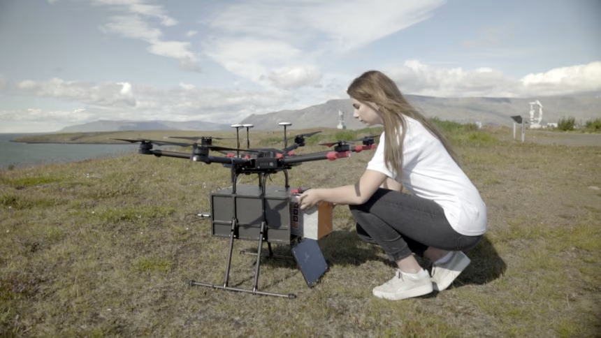
Delivery attracts attention but only works on selected routes. Noise, falling loads, landing space and the energy used per parcel must be compared with vans, bicycles and collection points. Passenger eVTOL adds much higher certification, maintenance and evacuation requirements; a demonstration is far from a transport service.
China’s scale can accelerate standards and manufacturing, while a serious incident can also damage confidence quickly. Digital airspace must remain resilient to network failure and cyberattack and give emergency aircraft priority. The low-altitude economy will be defined less by how many machines are sold than by whether shared airspace stays safe, quiet and accountable.